
By the day's end, there will be at least three alternate plans -- and even these don't go exactly as planned, but there is much interest in all,

beginning with engaging discourse with

Dr. John Browning,

first chez toi,

then
out

in

plein

air to

White

Rabbit,

taking leave for adventures,

initially
I-

10

east

to

south

79,

through

the
broken lands that extend down

to

Hemet.

Picking

up

79

east,

it's

a

long incline

steadily gaining elevation through

San Jacinto Canyon,
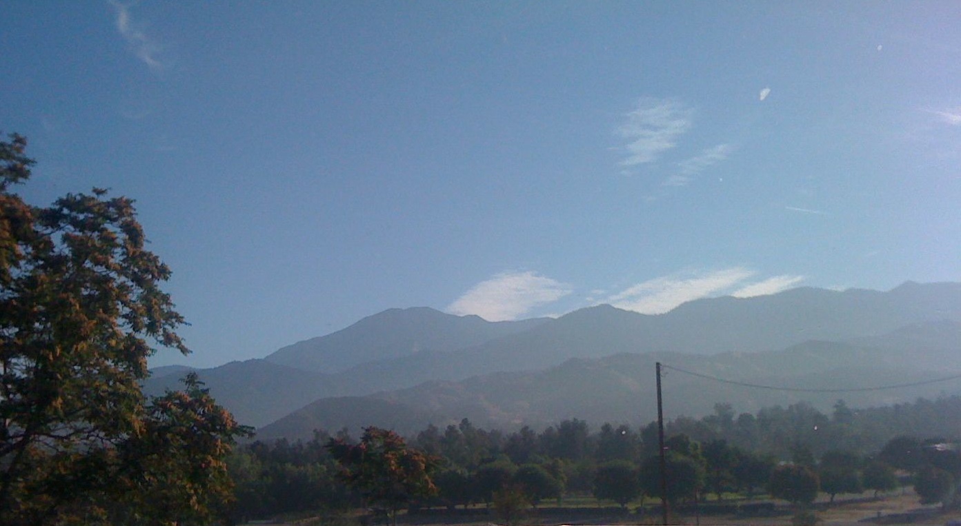
to the heights of Garner Valley, looking even higher to the San Jacintos, but, as suspected, many areas are restricted, due to last week's fire, with amazingly burned slopes in the Desert Range, south to Fobes and beyond.

Morris

Ranch

Road,

however,

is

open,

so, hoping for the best, proceed upward east to the

Cedar Springs Trailhead, but -- alas -- no,
the way is closed here, too,

despite

the

untouched chaparral on either side of the slopes.

Backtracking,

heading

north,

west of the ridge front,

past

Lake Hemet,

over

Keen Camp

Summit,

the flames perhaps started just north of the

Mountain Center intersection,

though,

continuing beyond on 242 through

Idyllwild,

most of the settled areas seem unscathed,

if perhaps underutilized.

Opting for Plan B,

the next idea is to finish the roadwalk from
Indian Mountain to Vista Grande Fire Station.

With high hopes

(the clock strikes noon --

the psycological half-way point of the year),
first divert for views,
then

proceed
towards

the

surreally
deserted

Lake

Fulmor,

noticing

that

cars

are

only

arriving

in
groups

from
either direction.

As there had been a traffic control area south of the starting point,

realize

that there must be one ahead as well,
and,

sure enough,
there is...

And there's nothing to do but take the car through this one,

which is long enough such that the
walking

distance remaining is minimal back to

the Station.

Well,

another time...

With the day still

relatively young,

tourist-

divert

down

Poppet

Flat

(with

campgrounds,

residences, and

surprisingly bucolic atmospheres)

and,
subsequently

via

the

McMullen-

area

woodlands,

Twin

Pines

Roads

(heroic

views

and

the

surreal

Ranch

Boys
Probation

Camp).

Retrograde,

down,

down

the

Banning-

Idyllwild

Grade,

in

markedly

different

light

than

yesterday,

across the high

Gorgonio country

and

lower

still

into

the

relatedly

unreal

San

Timoteo

Badlands

(or

should

it

be

called

the

Wonderfullands?

or

Wonderland of

Rockish Angles?)

on Route 60 to Moreno Valley, the Box Springs and

Jurupa

Mountains,

out of

Riverside (north 15) and back in

San Bernardino,

10 east again (though farther west) to Yucaipa Grade

and

Boulevard,

casting about


until happening on the Zanja Trailhead.

Uncharacteristically
without
benefit of map,
charge

up

the

trail,

with

a few

detours,

mounting
the

steep,
phantasmagorical

slopes

to at last arrive on the
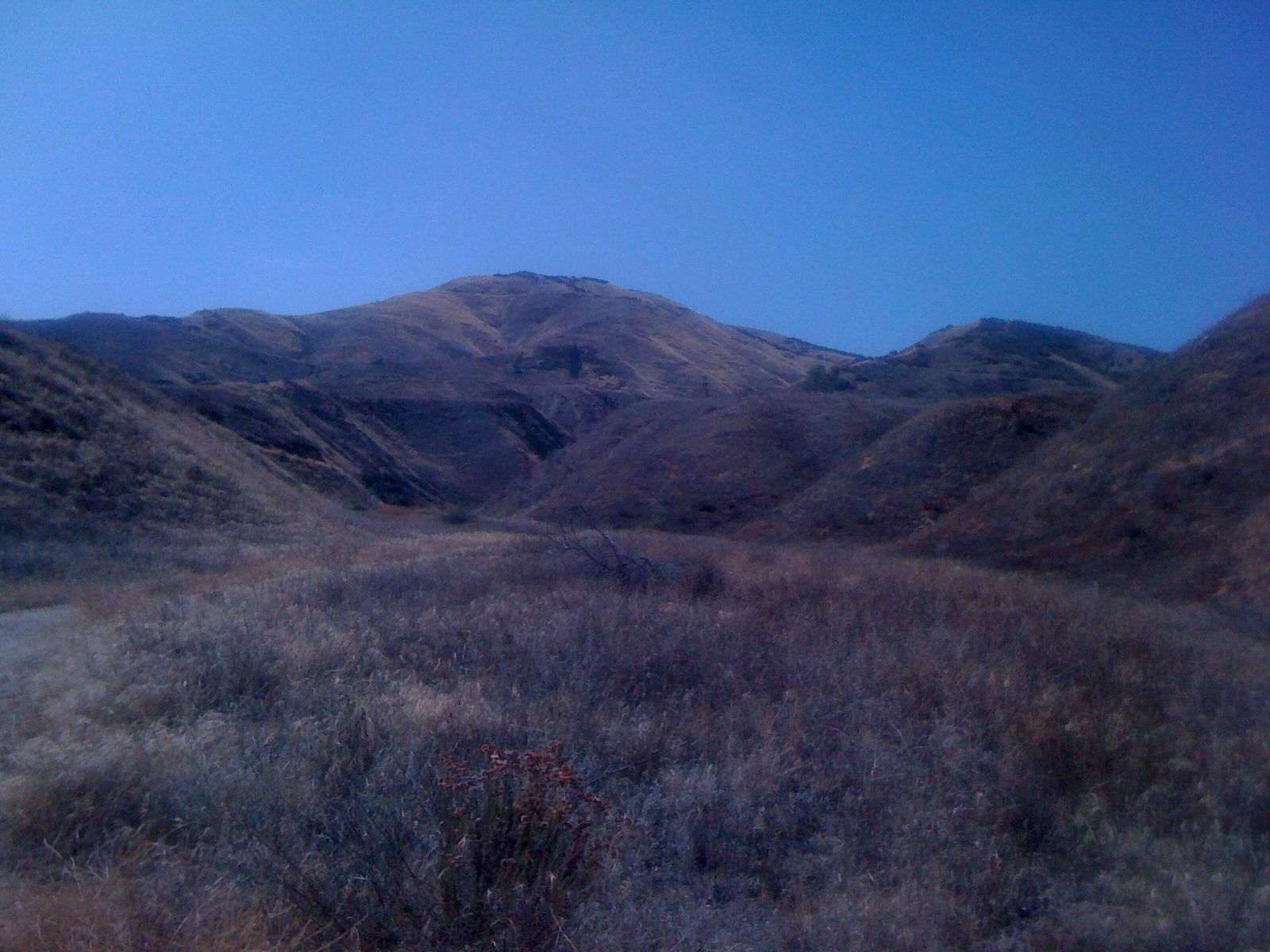
Ridgecrest, within sight of the highest Peak, which must wait for another auspicious time to be surmounted.

Down
again

the

precipitous


contouring

around,

re-
charging

and

reversing

course

to

the

Brownings'.

Again, with excellent conversation,
out to

Black Angus (visiting briefly with Lisa and company),

then return for more libations and

wisdom into

darkness...

High back home, 91 (48th 90+), on the 130th day of summer, and

locally, 86...